

2026 Groundwater catchment walkovers
- Ellie

- Apr 21
- 2 min read

Last week Sophie and Ellie from the catchment team began the 2026 groundwater catchment walkover programme…
Every three years, we review the information we have for each of our 19 groundwater catchments. These catchments, or Source Protection Zones (SPZs), are the areas surrounding a groundwater abstraction where there is a risk that activities on this land could contaminate the underlying groundwater. Therefore, it is important for us to keep up to date records of the land use and activities within these catchments to understand the risk to the water quality at each of our abstractions.
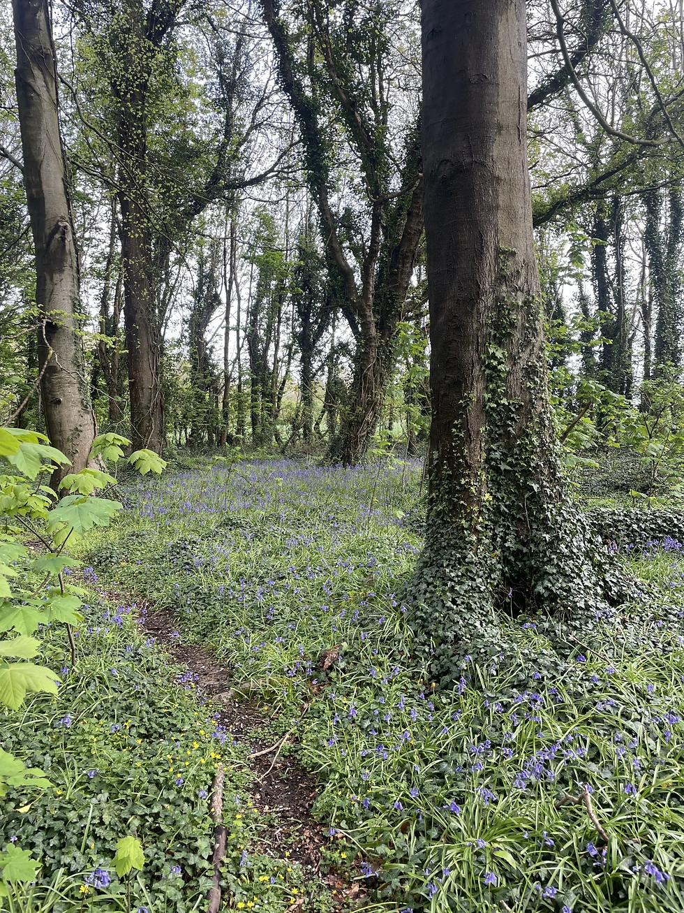

On Thursday Sophie and Ellie went out to Lovedean. We walked 8km across the whole catchment capturing data about the different landuses. This includes things such as the species of crops in fields, the location of farms, livestock holdings, flytipping, any septic tanks or domestic heating oil tanks we see and much more…

For years, our catchment walkovers relied on physical maps and handwritten logs, all of which then had to be manually transferred into digital spreadsheets once we were back in the office. Over the past year, however, we’ve been working closely with the IT department, who have developed an ESRI ArcGIS Field Maps solution, allowing us to record information directly while out on site and view this in real-time using an ArcGIS Dashboard.
This season was the first time we’ve used ArcGIS Field Maps for catchment walkovers in full production, and it performed exceptionally well. The data captured was more accurate, more consistent, and it dramatically reduced the amount of admin required afterwards.
We have a lot more walkovers to complete and Sophie and I are looking forward to getting out into our beautiful catchments across the South Downs this summer!!
Comments